Roadside Chapel
The Roadside Chapel is an ancient typology, created to serve travelers on long journeys seeking solitude, prayer, and reflection. This chapel sits just off a country road in central North Dakota.
Its glass brick walls create a surreal presence from afar and gently distort the surrounding landscape from within; never fully severing the visitor from their context, but softening it into a meditative blur.
Patrick Finucane | Student Project UWM

Plan
The Ecosystem
The landscape of central North Dakota is part of the Prairie Pothole Region, an ecosystem of tall grasses and wildflowers that supports more than 225 species of migratory birds, among them sandhill cranes, along with managed herds of bison, beavers, and a range of aquatic life. During the last ice age, retreating glaciers left blocks of ice behind in the soil. As they melted, they pressed thousands of shallow depressions into the prairie. These potholes fill with water each spring and give the region its name.
A Drop in the Prairie
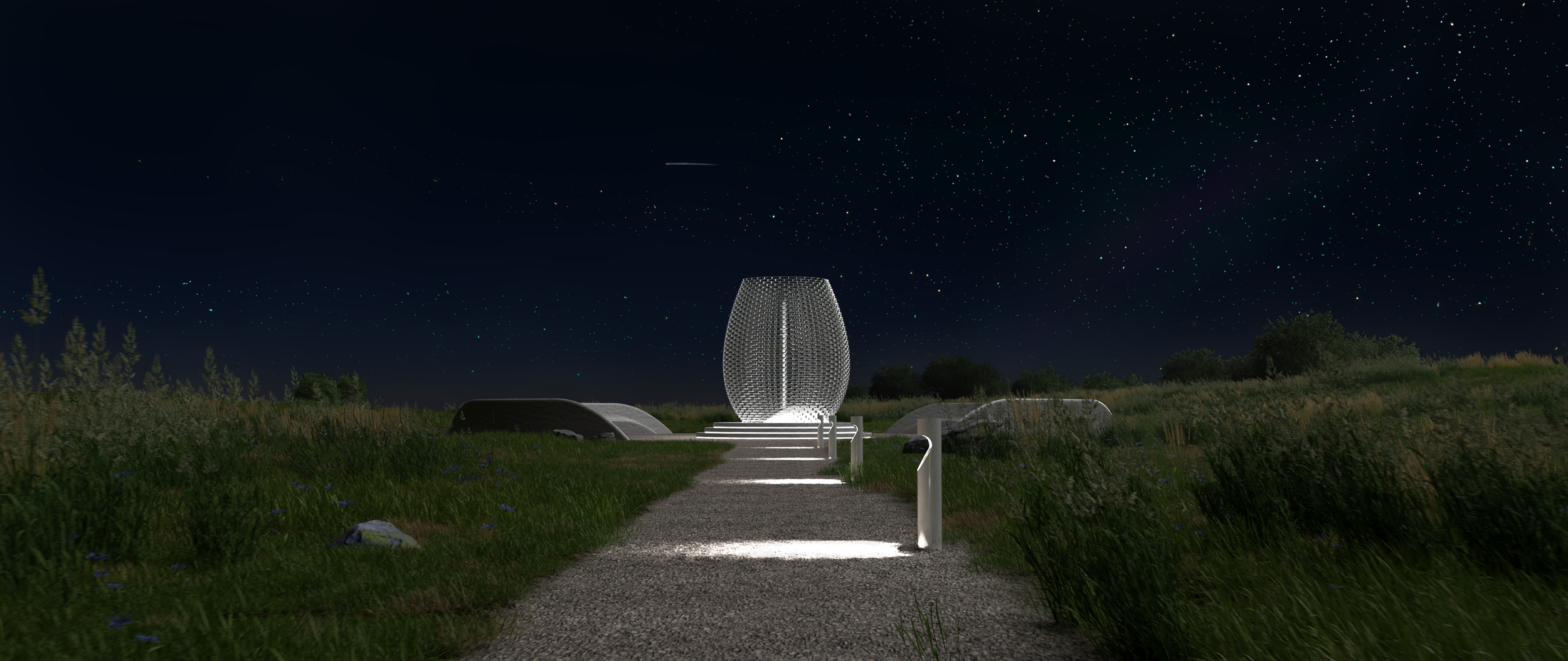
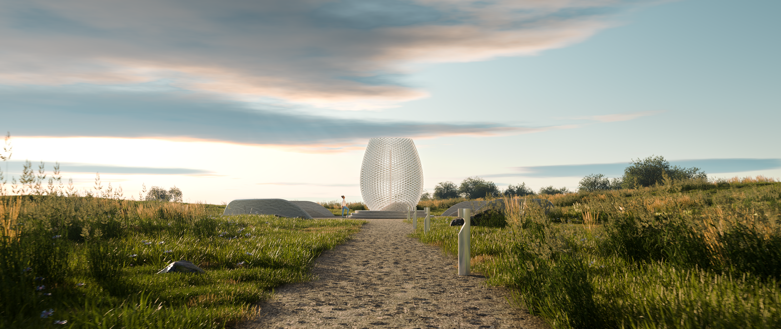
The chapel sits deep in the prairie, off a country road. A path leads visitors through the surrounding grasslands, immersing them in the landscape before the building comes into view. At the end of the procession, a glass chapel rests on a stone plinth like a droplet caught the moment it lands, refracting and distorting the prairie beyond.
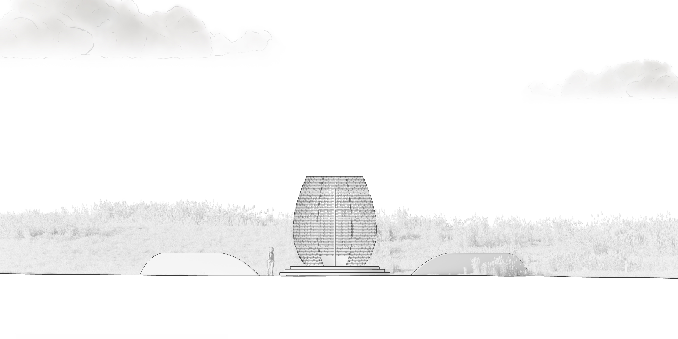
Inside, a stone bench faces out. Visitors see the grassland twice: directly, through the openings in the corbeled brick walls, and again as the glass bends it. Outside, benches face the droplet itself, where the same glass reshapes the light passing through it across the course of the day.
At night, lights trace the path and wash the ground beneath the plinth, leaving the chapel with a soft glow on the prairie beyond.
Elevation